Costa Blanca
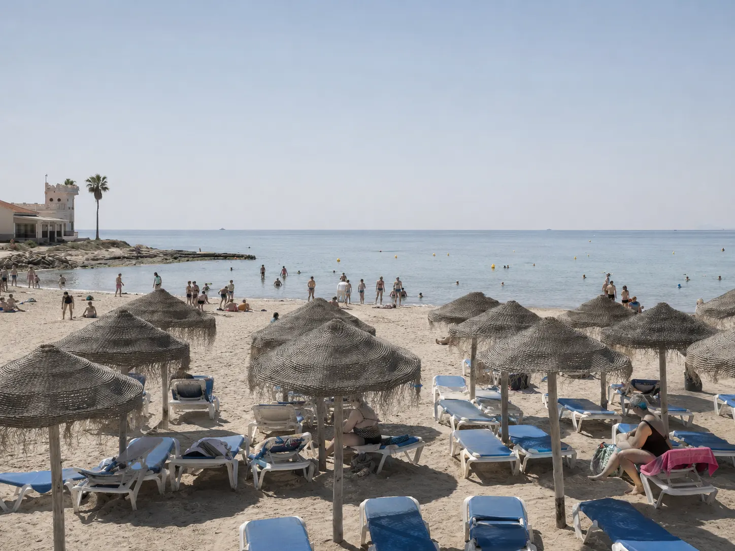
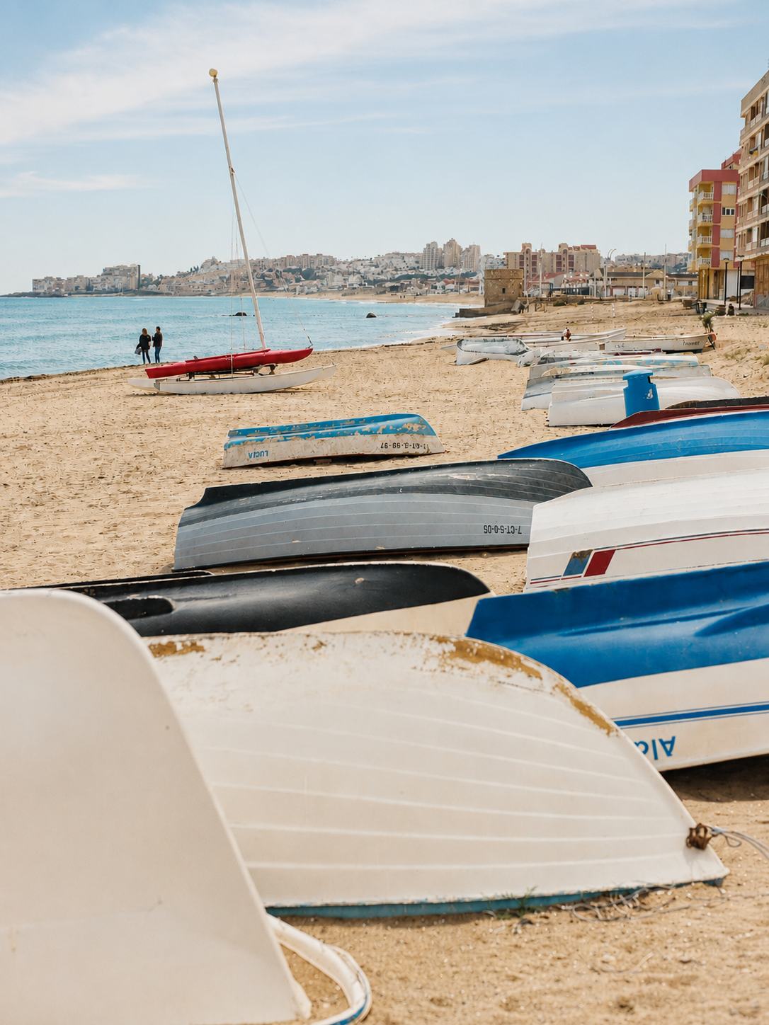
244 kilometres of coastline in the province of Alicante. La Mata is on the southern stretch.
Check availability
What is the Costa Blanca
Tourist name for the Mediterranean coast of the province of Alicante, in the Valencian Community. It runs 244 km, from Dénia in the north to Pilar de la Horadada in the south. It borders the Costa de Valencia to the north and the Costa Cálida to the south, already in the Region of Murcia.
It is not an administrative boundary — it doesn't appear on any official map of limits — it's a tourist name that broadly matches the whole coast of the province of Alicante.
The origin of the name
The term was officially coined in 1957, as part of a campaign by the British airline British European Airways (BEA) to promote flights between London and Valencia.
As for why “white”, sources don't agree on a single explanation — several theories coexist, none confirmed as definitive: the brightness of the light-sand beaches and the sun's reflection on the sea; the white façades of the coastal towns, which also served sailors as a landmark; and the taste of the first British tourists in the 1950s for that aesthetic. It's probably a combination of the three, not one isolated reason.
Where La Mata sits within the Costa Blanca
La Mata, a district of Torrevieja, is on the southern stretch of the Costa Blanca. Torrevieja fully belongs to the Costa Blanca — it's clearly north of Pilar de la Horadada, the municipality that marks the southern limit of the name — and shouldn't be confused with the Costa Cálida, which starts right after, already in the Region of Murcia. It's quite a different area from the better-known image of Benidorm or the Marina Alta: less vertical, less crowded, with salt lagoons as a distinctive feature not repeated elsewhere on the coast.
Driving distances from Torrevieja/La Mata
| Alicante city | ~69-70 km · 40-45 min |
| Benidorm | ~113 km · 1h 10-25 min |
| Jávea | ~145-157 km · 1h 40 min |
| Dénia (northern tip) | ~157-160 km · 1h 40 min - 2h |
The northern Costa Blanca (Dénia, Jávea, Calpe) is over two hours away — that's a separate trip, not a comfortable day return. Alicante and Benidorm are reasonable as a day trip.
How to get here → · Day trips →
The climate, with a caveat
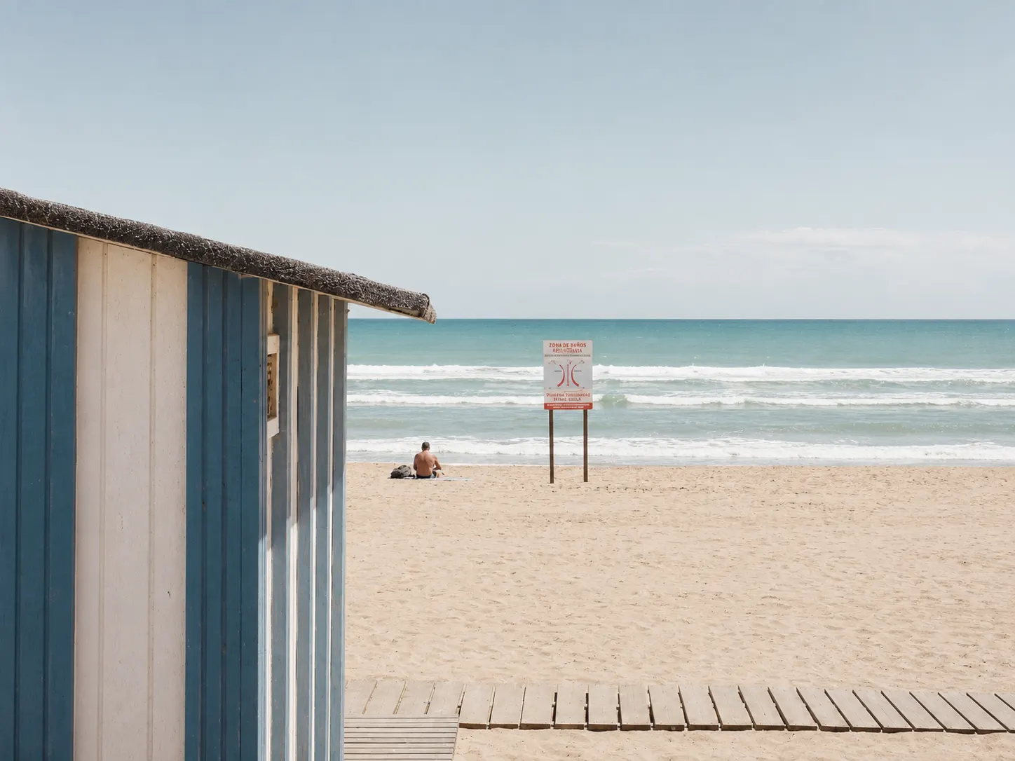
The Costa Blanca is traditionally associated with “over 300 days of sunshine a year and an average temperature of 20°C” — that's the description Wikipedia itself gives for the tourist name of the region as a whole.
Important caveat: that figure is a province-wide average, with quite different zones within it (the mountainous north isn't the same as the flat south). For La Mata specifically, real measured data give an annual average of 18.4°C — slightly below the regional average quoted, with milder winters than “20°C average” might suggest.
Shared gastronomy
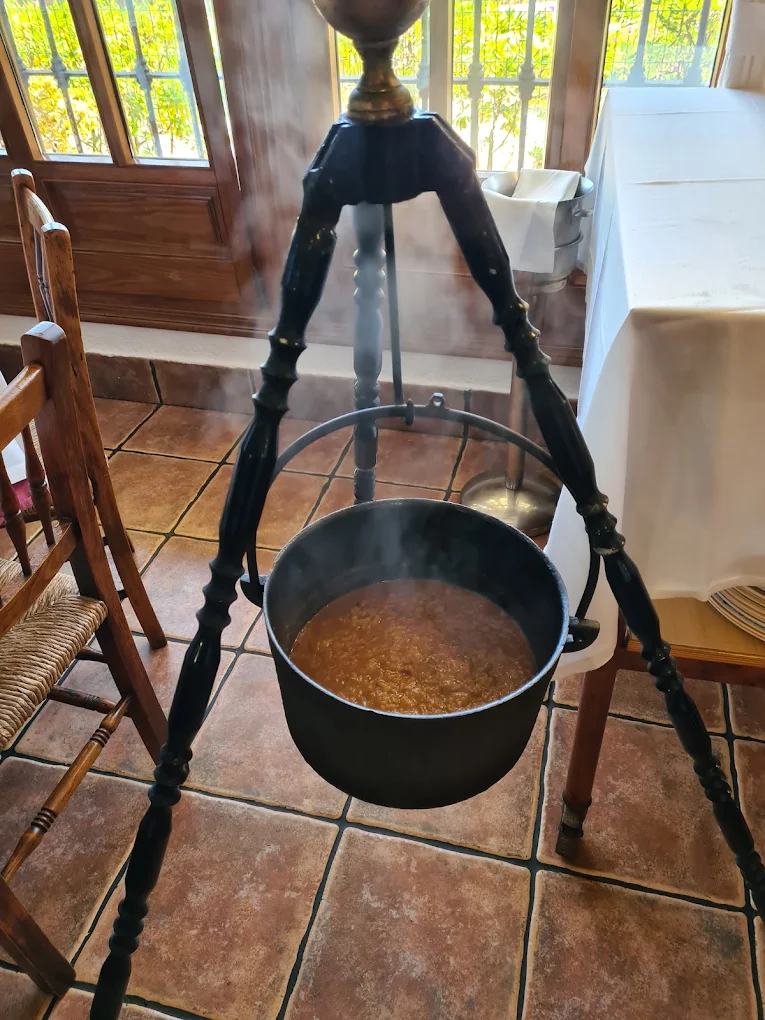
Rice dishes are the common thread across the whole Costa Blanca — arroz a banda, arroz con costra, and Torrevieja's own speciality, arroz caldero — and the province's wine tradition goes back to Roman times.
Rice dishes → · Alicante wines →
Nature and the interior
Alicante is one of Spain's most mountainous provinces, with an interior rarely explored from the coast. The province has over 20 golf courses — the exact figure varies between 15 and 24 depending on the source and year, with no stable official count, but all agree it's one of the highest concentrations in Spain — and off Santa Pola lies Tabarca Island, the only inhabited island in the Valencian Community and a Marine Reserve.
Main towns
From north to south: Dénia, Jávea, Benitatxell, Teulada-Moraira, Benissa, Calpe, Altea, l'Alfàs del Pi, Benidorm, Finestrat, la Vila Joiosa, el Campello, Alicante, Elche, Santa Pola, Guardamar del Segura and Torrevieja (with La Mata within this last municipality).
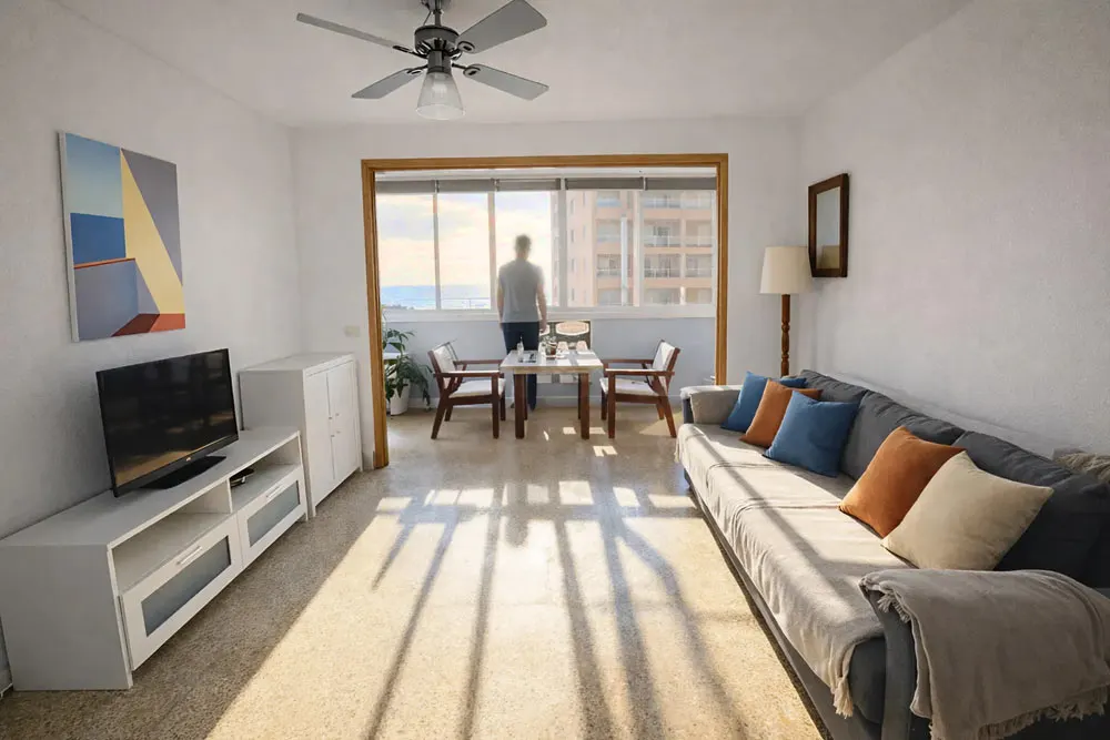
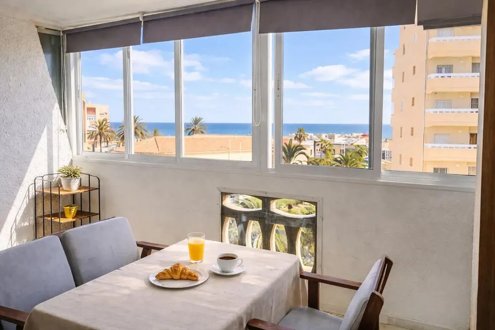
On the southern stretch of the Costa Blanca, close to everything. Apartment in La Mata, with the calm of the south and good connections to the rest of the coast.
Check availability →Frequently asked questions
What is the Costa Blanca?
Why is it called Costa Blanca?
Where does La Mata sit within the Costa Blanca?
What sets the southern Costa Blanca apart?
Is the weather the same across the whole Costa Blanca?



Ready to book?
Check the available dates and book your next stay at La Mata Beach.
Check availability